Wednesday, August 31, 2016

Swiss Alps Hiking: Brisen


To hike up the Brisen, we started in Wolfenschiessen, which is about a 10-minute drive from Engelberg (where we were staying). We first took a cable car up from Dallenwil to Niederrickenbach, then we walked a 30-minute more-or-less flat path to Alpboden where we took a chair lift up to Haldigrat. This is where we started hiking up to the Brisen summit.

This hike consists of walking along a long ridge (2km), up 500m of ascent, with a steep dropoff on both sides of the trail. The trail was narrow, most of the time only wide enough for a single person, and it was steep with loose rocks that made you have to watch every. single. step. that you took. After the first few ridges, we debated turning around but Martin soldiered on and summited while I only made it halfway up the last ridge before the summit. I was too nervous about going back down the trail to make it all the way up.

All that being said, the views from this hike were amazing. We had lake Lucerne and the Rigi on one side, Titlis on another, with panoramic views of all of the peaks in central Switzerland from the summit.

Here's a picture of the whole hike, taken from our walk from Niederrickenbach to Alpboden between the cable car and the chairlift we took to start the hike. We hiked over the three wavy ridges on the right side of the photo and summited the high peak towards the middle of the range.


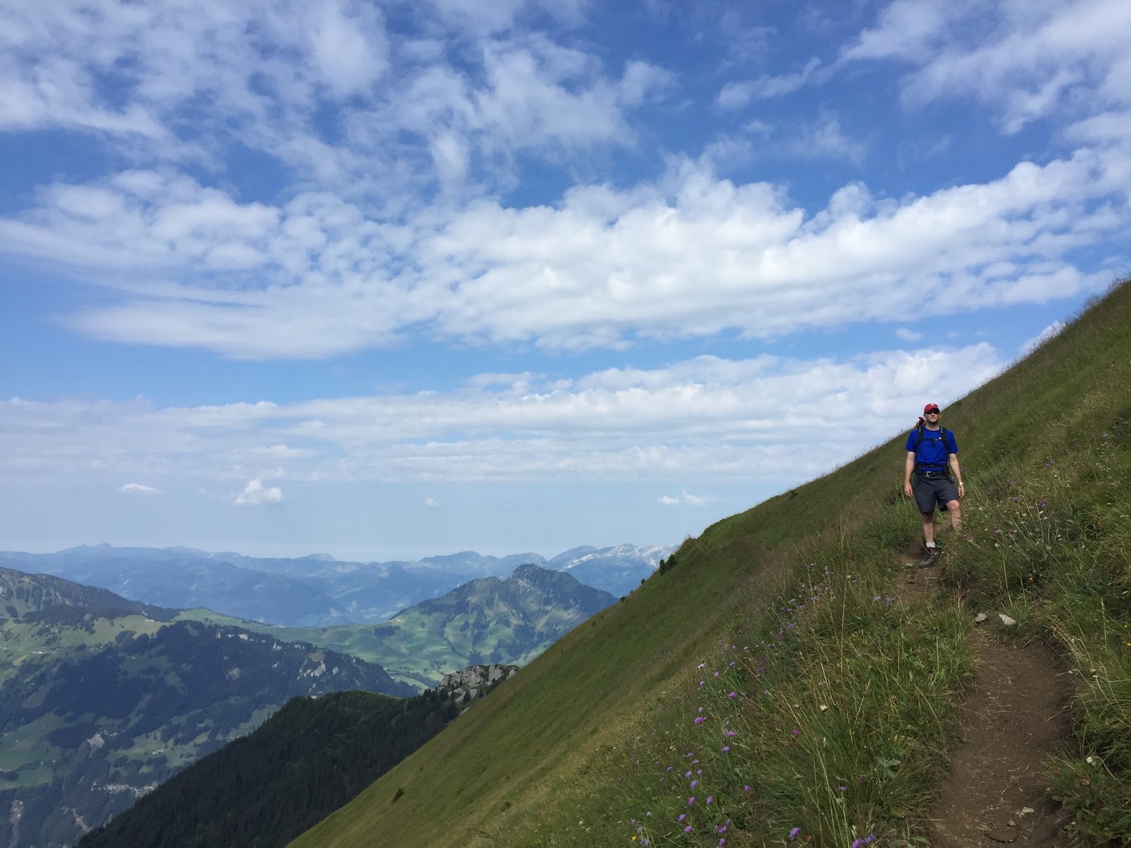
A few pictures of the views we had on the way up:


And some pictures of how steep the trail and dropoffs were. In the first picture below the peak in the top left is the Brisen.


Some views from the top:


On the way back down ... the trail was even scarier when going downhill.


Taking a break from worrying about falling to my death! The rock face behind me actually had a chunk break off and fall while I was sitting here, which was pretty exciting.


Naturally, people come up here and basically run off the cliff to paraglide. Definitely not my cup of tea.


Martin enjoying some coffee schnapps from the Haldigrat restaurant after we had finished the hike. Note the chair lift operating behind him with the box in place of the usual chair. We rode down in that and it was a fun time. Mostly just sporty trying to get in and out of it.

Monday, August 29, 2016

Swiss Alps Hiking: Surenen Pass


The Surenen Pass hike in the Swiss Alps can be a loooooong hike. If you do it end-to-end, Engelberg to Attinghausen/Altdorf or vice-versa, it's about 26 kilometers or 16 miles. Naturally, we shortened this a bit when we did it and only did 12 miles. It took us almost 7 hours! We stayed in a hotel in the town of Engelberg and took the "Titlis Taxi" to Attinghausen (~45 minute ride) where we began the hike back to Engelberg over the Surenen pass. We had planned to start the hike in Engelberg and then take the train from Attinghausen/Altdorf (the end of the hike) back to Engelberg, but that would have taken us almost 3 hours on the train! Luckily Martin discovered that there's a taxi service that specializes in driving people around between the start and end points of the hike, for a lower price than the trains would have cost (80 franks per ride regardless of # of people), so we decided to take it to Attinghausen and then hike comfortably back to Engelberg without worrying about when we finished the hike. I highly recommend this.

We started by taking a cable car from Attinghausen to Brüsti, where we started our hike at this signpost. Our goal was to hike to Fürenalp where we would take another cable car, and then a bus, back to Engelberg and our hotel. Just a side note, the Fürenalp cable car is one of the most terrifying cable cars! It goes straight up a rock face - or straight down if you're taking it down, which was more or less like riding a roller coaster.


Some lucky people have houses up here! Some of them sell drinks and cheese to passersby.


Some views from the beginning of the hike (leading up to the pass). It was supposed to storm but we ended up having a gorgeous day.


A brief view to Lake Lucerne:


Some views of the greenness of the area:


And there were a few snow fields near the pass. Thankfully nothing too extensive.


A few pictures of the neat mountains on one side of the pass.


We're finally at the pass! Eating a quick lunch so we can move out before any possible storms form (they didn't).


On the way down towards Engelberg. This side of the pass has a much gentler slope but you have to hike a much longer distance on this side to allow for that. You can choose which direction you hike up over the pass based on whether you need the gentler incline when going up or down, which is nice.


And here's your required picture of cows and mountains that you've come to expect from Switzerland! I took this photo while hiking the 200m uphill section at the very end of the hike - not the best part of the day for sure (not because of the cows but because of having to walk uphill at the very end)! The hike ended up having a solid 1,000m of uphill.